Anaga mountains in Tenerife
The Anaga Rural Park is a protected natural area located in the northeastern tip of Tenerife. It covers an area of 14,419 hectares, representing 7.9% of the island. The park lies within the municipalities of Santa Cruz de Tenerife and San Cristóbal de La Laguna. Its highest point is the Cruz de Taborno peak, standing at 1,024 meters above sea level.
Steep slopes and deep ravines descend all the way to the sea, forming spectacular cliffs and hidden black volcanic sand beaches, some of which can only be reached on foot or by boat.
The sea of clouds is one of the park’s most remarkable natural spectacles, highly valued both for its scenic beauty and ecological importance, due to its unique formation and the extraordinary biodiversity it supports.
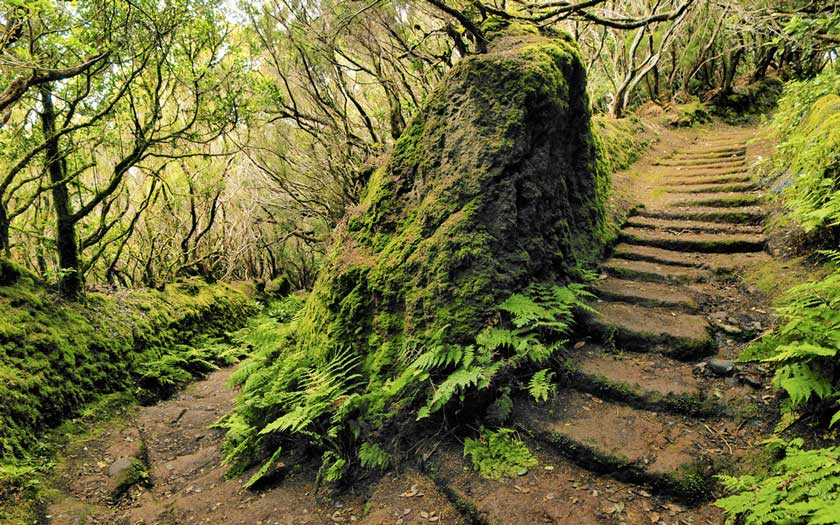
Anaga’s stunning landscape is the result of erosion on volcanic terrain, carving out a dense network of ravines and revealing numerous volcanic dikes and spires. Due to its altitude and location, the trade winds create a humid, rainy climate in the highlands of Anaga, in stark contrast to the arid coastal areas. This variation fosters the growth of highly diverse plant communities.
Among Anaga’s natural habitats are the laurel forests and fayal-brezal heathlands at higher elevations, thermophilic forests, cactus and spurge scrublands along the coast, and small patches of pine forest. These environments are home to numerous animal and plant species, including over 120 local endemics, as well as unique zoological and botanical treasures such as the laurel forest pigeons and the Anaga violet.